
Ha Giang is Vietnam’s northernmost province, a remote tangle of jagged limestone mountains, terraced valleys, and hairpin passes hard against the Chinese border. It’s home to the Ha Giang Loop, widely regarded as the country’s most spectacular motorbike route, winding through a UNESCO-listed karst plateau and villages of Hmong, Tay, and Dao ethnic minorities who still farm these slopes much as they always have. Fewer roads reach this far north, and that isolation is exactly what makes Ha Giang feel like Vietnam’s last frontier.
The Ha Giang Loop
The Ha Giang Loop is a roughly 350 km motorbike circuit through the province’s most dramatic terrain, typically ridden over 3-4 days either self-driven or with an easy rider guide on the back of the bike. The route strings together towering limestone peaks, plunging valleys, and remote minority villages that see comparatively few tourists. It’s become a rite of passage for adventurous travellers in Vietnam, demanding some riding confidence but rewarding it with scenery few other routes in Southeast Asia can match.
Ma Pi Leng Pass
Ma Pi Leng Pass is the loop’s showstopper, a narrow road carved into sheer cliff face high above the Nho Que River, often cited as one of Vietnam’s most beautiful roads. The pass connects Dong Van and Meo Vac, twisting along a ledge with the canyon dropping away hundreds of metres below and karst peaks stacking to the horizon. Viewpoints along the pass, including the Ma Pi Leng Skywalk, let riders stop safely to take in the scale of the canyon before continuing the ride.
Dong Van Karst Plateau Geopark
The Dong Van Karst Plateau Geopark, a UNESCO Global Geopark, covers much of northern Ha Giang and gives the region its otherworldly landscape of grey limestone spires, sinkholes, and rock formations dating back hundreds of millions of years. Within it sits Dong Van Old Quarter, a small town of aging stone houses around a night market square that retains a distinctly frontier feel. The geopark status protects both the geology and the traditional ways of life still practised across its terraced, rocky terrain.
Lung Cu Flag Tower & Nho Que River
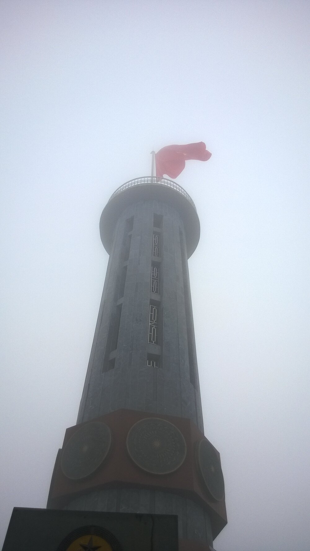
Lung Cu Flag Tower marks Vietnam’s northernmost point, a hilltop tower flying a giant national flag with views stretching across the border into China and over a patchwork of small ethnic minority hamlets below. Down in the valley, the Nho Que River carves through Tu San Canyon, one of the deepest canyons in Southeast Asia, its jade-green water visible from Ma Pi Leng Pass or up close on a boat trip through the gorge. Both are highlights best reached as part of the loop.
Food & Market Life
Ha Giang’s food reflects its highland, multi-ethnic character: thang co, a traditional Hmong stew historically made from horse meat, corn wine (ruou ngo) served in tiny cups at roadside stops, and simple grilled meats and greens eaten at family-run guesthouses along the loop. The province’s markets are as much social events as trading posts, with the Meo Vac Sunday Market drawing minority communities from surrounding villages in colourful traditional dress to trade livestock, textiles, and produce. Arriving early gives the most authentic sense of the market before it fills with visitors.
Adventure & Riding
Riding the loop itself is Ha Giang’s main draw, whether self-driven on a semi-automatic motorbike or as a passenger with an easy rider, and the terrain rewards those with some prior riding experience given steep grades and sharp switchbacks. Beyond the road, side activities include boat trips on the Nho Que River through Tu San Canyon, short treks around Hoang Su Phi’s terraced rice fields, and cave exploration at Lung Khuy Cave. The combination of road, river, and rice-terrace scenery makes it one of the most varied adventure regions in the country.
Best Time to Visit
Planning a trip to Ha Giang? We arrange private guided tours — day trips, multi-day itineraries, and custom routes.
The best months are September to November, when rice terraces at Hoang Su Phi turn golden before harvest and skies are typically clear after the summer rains. March to May also offers good riding conditions with blooming flowers, including the province’s famous buckwheat and plum blossoms in some areas. Winter months (December-February) bring cold temperatures and occasional fog at higher elevations, which can affect mountain visibility. The rainy season from June to August brings the risk of landslides on mountain roads, making riding conditions less predictable.
Getting There
Ha Giang city has no airport; most travellers fly into Hanoi and then take a 6-7 hour bus or private car north, often overnight, to reach Ha Giang city, where the loop typically begins. There is no rail access to the province. Some tour operators offer combined transport packages from Hanoi that include the bus transfer and bike rental. Once in Ha Giang city, the loop route itself is only accessible by road, whether by motorbike, car, or organised jeep tour.
Where to Stay
Ha Giang city offers a base of hotels and guesthouses for arranging bikes and permits before setting off on the loop. Along the route itself, homestays in villages near Dong Van, Meo Vac, and Yen Minh Pine Forest provide simple rooms, shared meals, and a chance to experience local ethnic minority hospitality directly. Most riders change accommodation nightly as they progress around the loop, so booking flexibility matters more than any single standout property.
Practical Tips
A permit is required to travel through parts of Ha Giang province due to its border location, arranged easily in Ha Giang city or through a tour operator. Only attempt to self-drive the loop if you have real motorbike experience, as the mountain roads include steep, unpaved, and sharply winding sections. Pack layers, as temperatures swing significantly between valley floors and mountain passes. Fuel up whenever possible, since petrol stations are sparse between towns along the route.