
Lung Cu Flag Tower
Vietnam's northernmost point at 1,400m — a 30m flag tower with panoramic views of the border mountains.
Overview
Lung Cu Flag Tower marks the northernmost point of Vietnam — a remote and symbolic place that sits over 1,400 metres above sea level on the summit of Lung Cu Peak in the Dong Van district. A 30-metre stone tower topped with a large Vietnamese flag is visible from kilometres away, and the 360° views from the summit take in both Vietnamese and Chinese territory.
Get There
Transport directions coming soon.
Hotels
Hotel recommendations coming soon.
🏨 Search hotels & guesthouses — Booking.comOther
What to See
- The flag tower — rebuilt and enlarged in 2010; the flag itself is 54 m² representing Vietnam's 54 ethnic groups
- Panoramic summit views — Chinese mountains to the north, Ha Giang karst plateau to the south
- Lo Lo Chai village — the ethnic Lo Lo village at the base of the peak; colourful traditional dress and homestay accommodation
- Dragon Hill steps — 389 stone steps carved into the hillside leading to the summit
Practical Information
- Entrance fee: Free
- Steps to summit: ~389 steps; allow 20–30 minutes up
- Location: Lung Cu commune, Dong Van District; ~24 km north of Dong Van town
- Best time: Morning — mist often clears to give clear views; avoid midday heat in summer
Tips
- Combine with Dong Van Old Quarter (24 km south) and Ma Pi Leng Pass (further south) for a full day on the loop
- Lo Lo Chai village at the base is worth 30–45 minutes exploring on foot
- October–November: golden terraced fields visible in the valleys below — best photography of the year
- Early morning fog creates extraordinary atmosphere; the flag emerging from mist is iconic
More attractions in Ha Giang
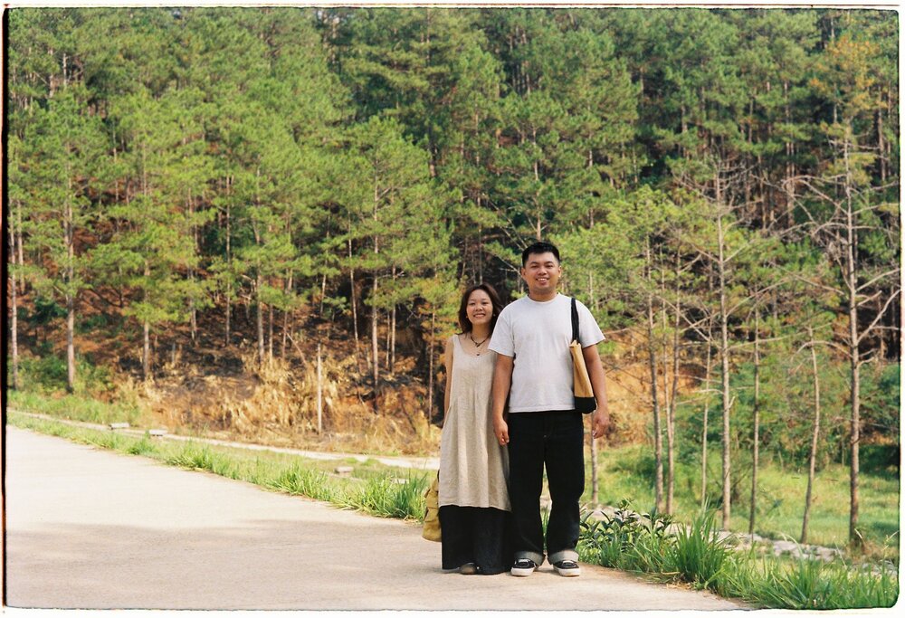
Yen Minh Pine Forest
A mist-covered pine forest lining the Ha Giang Loop highway — called "the Da…
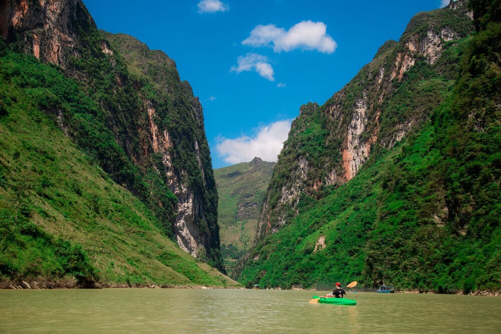
Nho Que River & Tu San Canyon
The deepest gorge in Indochina — a vivid turquoise river snaking between vertical limestone…
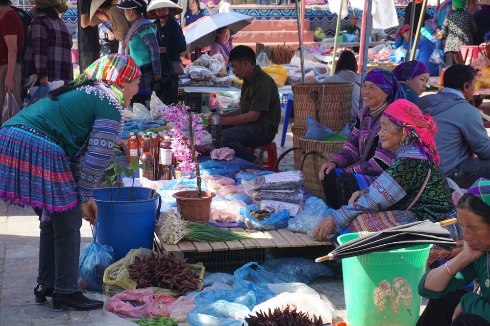
Meo Vac Sunday Market
The most colourful highland market on the Ha Giang Loop — Hmong, Dao, and…
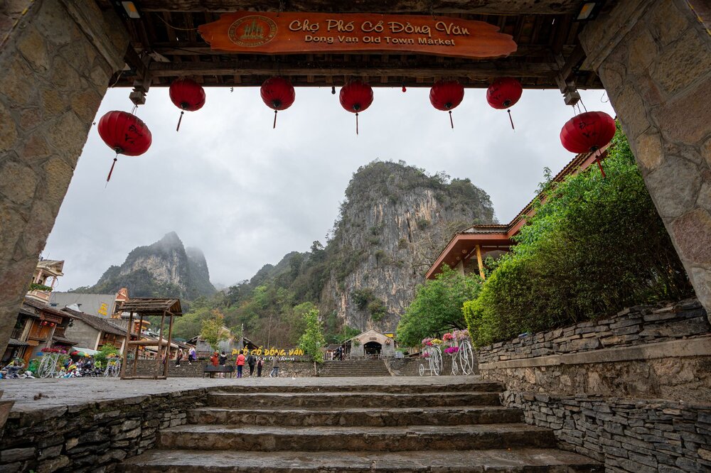
Dong Van Old Quarter
40+ preserved late-19th-century stone-and-tile merchant houses — the most atmospheric historic town in the…