
Dong Van Karst Plateau Geopark
UNESCO Global Geopark — 2,356 km² of 500-million-year-old limestone, 17 ethnic groups, and the entire Ha Giang Loop landscape.
Overview
The Dong Van Karst Plateau Geopark is one of only two UNESCO Global Geoparks in Vietnam. Spanning four districts of Ha Giang province — Quan Ba, Yen Minh, Meo Vac, and Dong Van — it covers 2,356 km² of ancient limestone formations, some of the world’s oldest exposed rock (500 million years), and the homeland of seventeen ethnic minority groups.
Get There
Transport directions coming soon.
Hotels
Hotel recommendations coming soon.
🏨 Search hotels & guesthouses — Booking.comOther
Why It Matters
- UNESCO Global Geopark since 2010 — recognised for exceptional geological, ecological, and cultural significance
- Limestone formations 500 million years old — among the oldest exposed karst on Earth
- 17 ethnic minority groups call the plateau home: Hmong, Lo Lo, Pu Peo, Giay, Tay, and others
- The backdrop to the entire Ha Giang Loop — every pass, valley, and village is inside the geopark boundary
Key Sites Within the Geopark
- Ma Pi Leng Pass — the most dramatic section of the plateau edge
- Dong Van Old Quarter — 19th-century trading town inside the geopark
- Lung Cu Flag Tower — the plateau's northernmost landmark
- Tu San Canyon — the deepest canyon in Indochina, carved by the Nho Que River
- Sung La Valley — hidden valley with buckwheat fields and traditional clay-wall houses
Practical Information
- Entrance fee: Free (individual sites may charge separately)
- Access: Via Ha Giang Loop (QL4C highway) from Ha Giang City
- Best season: Oct–Nov (buckwheat flowers + harvest), Feb (canola flowers), Jan–Mar (dry and clear)
Tips
- The geopark is not a single site — it is the entire landscape you ride through on the loop
- The Dong Van Geopark Museum in Dong Van town has good English-language exhibits on geology and culture
- Allow 3–4 days minimum to explore the plateau properly by motorbike
More attractions in Ha Giang
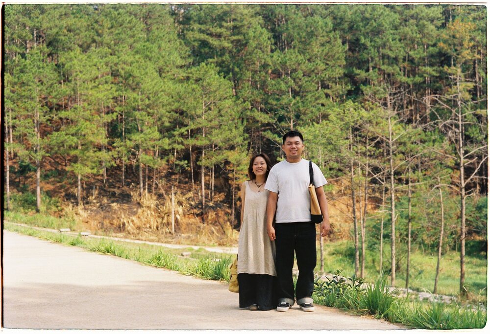
Yen Minh Pine Forest
A mist-covered pine forest lining the Ha Giang Loop highway — called "the Da…
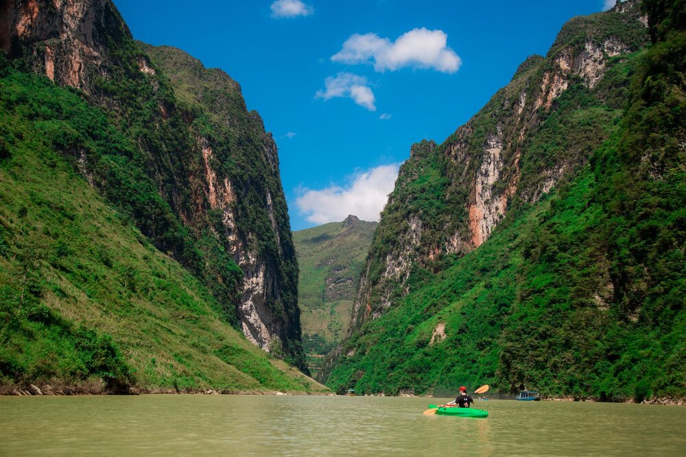
Nho Que River & Tu San Canyon
The deepest gorge in Indochina — a vivid turquoise river snaking between vertical limestone…
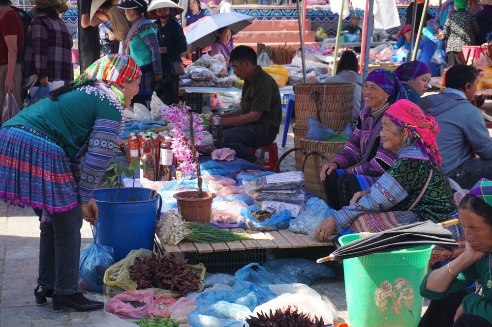
Meo Vac Sunday Market
The most colourful highland market on the Ha Giang Loop — Hmong, Dao, and…
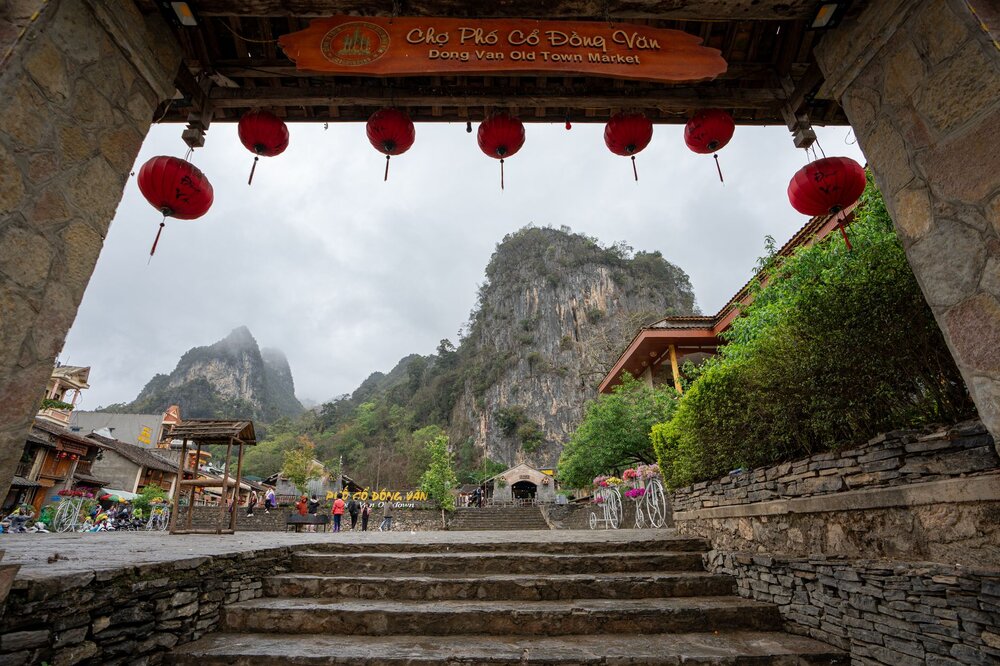
Dong Van Old Quarter
40+ preserved late-19th-century stone-and-tile merchant houses — the most atmospheric historic town in the…