
Northern Vietnam’s mountains are among the most dramatic in mainland Southeast Asia — the Hoang Lien Son range along the Chinese border includes Fansipan (3,143 m, the highest peak in Indochina), and the karst limestone plateaus of Ha Giang and the northwest present a landscape unlike anything in the rest of the country. Trekking in Vietnam ranges from the well-marked village paths of the Sapa valley (suitable for any fitness level) to the multi-day wilderness routes through Ha Giang’s Dong Van Karst Plateau (requiring a guide and proper mountain experience). The trekking season, the route choices, and the ethnic minority village culture are the three things that determine whether a mountain trip to northern Vietnam is merely good or genuinely extraordinary.
Best Trekking Destinations
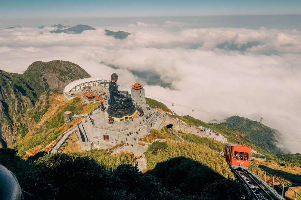
Fansipan, Sapa
Fansipan (3,143 m) is Indochina’s highest peak, accessible either by cable car (15 minutes from Sapa, 900,000 VND) or on foot via the 2-day guided trek. The cable car route gives the summit and its Buddhist temple complex to anyone regardless of fitness; the trekking route gives a genuine mountain experience through cloud forest, rhododendron thickets, and the exposed upper ridge with panoramic views of the Hoang Lien Son range. The trekking route requires a licensed guide (mandatory in Sapa) and basic alpine gear — the summit can be in cloud with near-zero visibility even in the dry season. March–May and September–November are the best trekking windows; December–February can bring snow above 2,500 m.
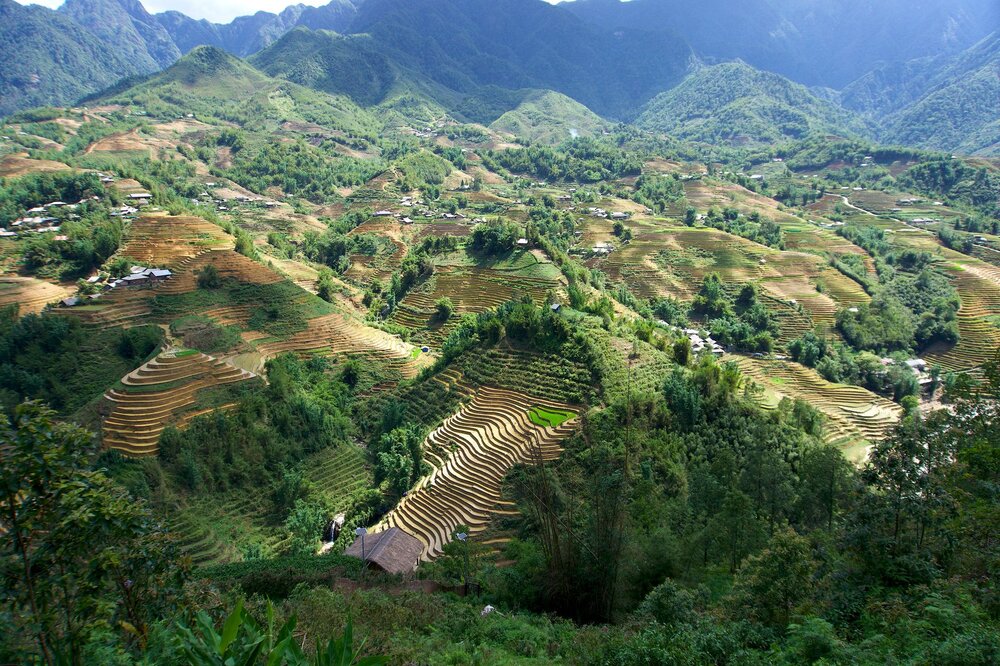
Sapa Valley Trekking
The Muong Hoa Valley below Sapa town — the agricultural valley connecting the H’mong and Dao villages of Lao Chai, Ta Van, Ta Phin, and Sin Chai — has the best-established trekking trail network in northern Vietnam. The village-to-village routes are well-marked (a rarity in Vietnam) and passable without a guide for experienced walkers; hiring a local H’mong guide adds cultural context and significantly enriches the experience. The classic 1-day circuit from Sapa town covers Lao Chai and Ta Van (14 km, 5–6 hours); a 2-day version adds a Ta Phin Red Dao village homestay. The rice terrace setting — with the terraced valley flanked by Fansipan and the surrounding peaks — is at its best in August (deep green) or September–October (golden harvest).
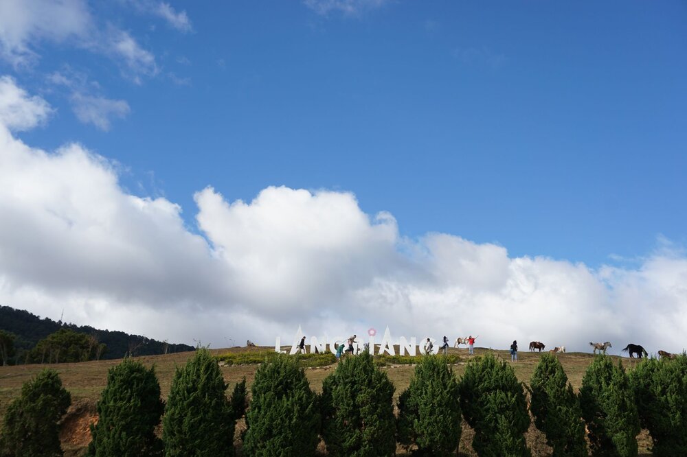
LangBiang Mountain, Da Lat
LangBiang (2,167 m) is the signature mountain of the Da Lat Central Highlands — a twin-peaked massif 12 km north of Da Lat city whose summit gives panoramic views over the plateau, the pine forests, and (on clear days) the distant coast. The trekking route to the summit takes 3–4 hours return from the base camp; a jeep service goes to within 45 minutes of the top for those who want the summit without the full climb. The highland forest on the LangBiang slopes — a mix of temperate pine and montane broadleaf — is home to the K’Ho ethnic minority communities whose villages are accessible on the approach road. Da Lat’s year-round mild climate (15–25°C) makes LangBiang trekable in any month.
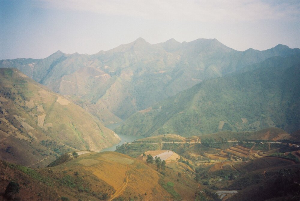
Ta Xua Mountains, Son La
Ta Xua (2,865 m) in Son La Province is northern Vietnam’s most dramatic cloud-sea destination — a high ridge above the Son La valley where, on clear mornings from October to March, a sea of clouds fills the valley below and the ridge rises above it into the blue sky. The overnight trek to the summit ridge (2 days from the trailhead village of Bac Yen) is strenuous and requires a guide; the reward is the 5–6 AM cloud-sea spectacle from the ridge that has made Ta Xua one of the most photographed mountain destinations in Vietnam. No tourist infrastructure beyond basic homestays in Bac Yen; the remoteness and the lack of crowds are the point.
Trekking Tips for Vietnam
- Guides in Sapa: Licensed local guides (H’mong and Dao women guides are common and excellent) are available through Sapa Tourism Information and all guesthouses; rates approximately 500,000–700,000 VND per group per day — worth every dong for the village access and cultural context they provide
- Best trekking season: October–April for the northern mountains (dry, clear, sometimes cold at altitude); March–May for Sapa valley (post-harvest green, lower humidity); September–October adds the golden rice terrace bonus; avoid July–August in Ha Giang and the northwest (landslide season)
- Footwear: Waterproof trekking boots with ankle support are essential for any multi-day route; trail runners are acceptable for the Sapa valley day circuits in dry conditions; flip-flops are not appropriate above village level
- Leeches: Common on forest paths in the wet season (June–September), particularly at Ta Xua and in the Ha Giang forests — DEET repellent on socks and shoe uppers is the most effective deterrent; pull off carefully if bitten (the wound bleeds freely but is not dangerous)
- Altitude: Fansipan summit (3,143 m) and Ta Xua (2,865 m) are high enough for mild altitude effects in susceptible individuals — headache, fatigue, reduced appetite; ascend slowly and descend if symptoms worsen
Book the Hanoi–Sapa Train
Getting to Sapa by train: The overnight sleeper train from Hanoi to Lao Cai is the most comfortable option — depart around 9–10 PM, arrive 5–6 AM, then a 1-hour minibus to Sapa. Book on Baolau → · Book on 12Go →
Tours & activities in Vietnam
Activity links above are affiliate or partner links.